Record-warm Pacific Ocean temperatures could fuel one of the strongest El Niño events in modern history, bringing heavy flooding and dangerous sea levels to the Bay Area as early as December, climate scientists warned at a state-hosted virtual town hall on Tuesday, Aug. 4, NBC Bay Area reported.
The warning carries specific weight for Walnut Creek, where the city's primary flood hazard runs through the downtown area along Walnut Creek, Tice Creek and tributaries to Grayson Creek in the northwest, according to the city's Public Works department.
"We may be seeing an event that we haven't really seen before in living memory in California," climate scientist Dr. Daniel Swain said during the town hall, which drew nearly 6,000 online viewers.
State Sen. Mike McGuire, D-Healdsburg, hosted the panel, which included Swain, KTVU Chief Meteorologist Mark Tamayo, Dr. Mark Merrifield of the Scripps Center for Climate Change Impacts and Adaptation and Nate Ortiz, assistant director of planning and preparedness at the California Office of Emergency Services.
What experts are forecasting
Swain said ocean temperatures in the eastern tropical Pacific have reached the warmest levels ever recorded in the region that drives El Niño patterns. Forecast models suggest this year's event could rival or exceed any El Niño observed during the modern era, though California's exact rainfall totals remain uncertain. Swain told the audience he has cleared his calendar from January through March "to be available if things get a little bit wild."
If forecasts hold, the biggest storm impacts for Northern California are expected in December and January, with dangerous conditions potentially extending through March. During the super El Niño of 1982-83, the North Coast received 161 percent of average rainfall, Tamayo noted.
Merrifield warned that California should expect the highest sea levels ever recorded on its coast, compounded by king tides peaking at the end of the year. That combination of high waves, elevated sea levels and heavy rainfall could produce coastal flooding and saltwater intrusion into groundwater.
Tamayo also flagged a near-term wildfire concern separate from the winter flooding: warmer Pacific waters and increased atmospheric instability could produce dry lightning during the fall fire season, before winter rains arrive. Warmer storms later in the season could push Sierra snow levels higher, producing more rain and less snowpack, which increases flood risk downstream.
How Walnut Creek residents can prepare now
The California Office of Emergency Services has already begun coordinating with local governments, the National Weather Service, Caltrans, CAL FIRE, the National Guard and other agencies. Officials plan to pre-position equipment and personnel before major storms arrive.
Ortiz urged residents to take three steps now, months before the storms hit:
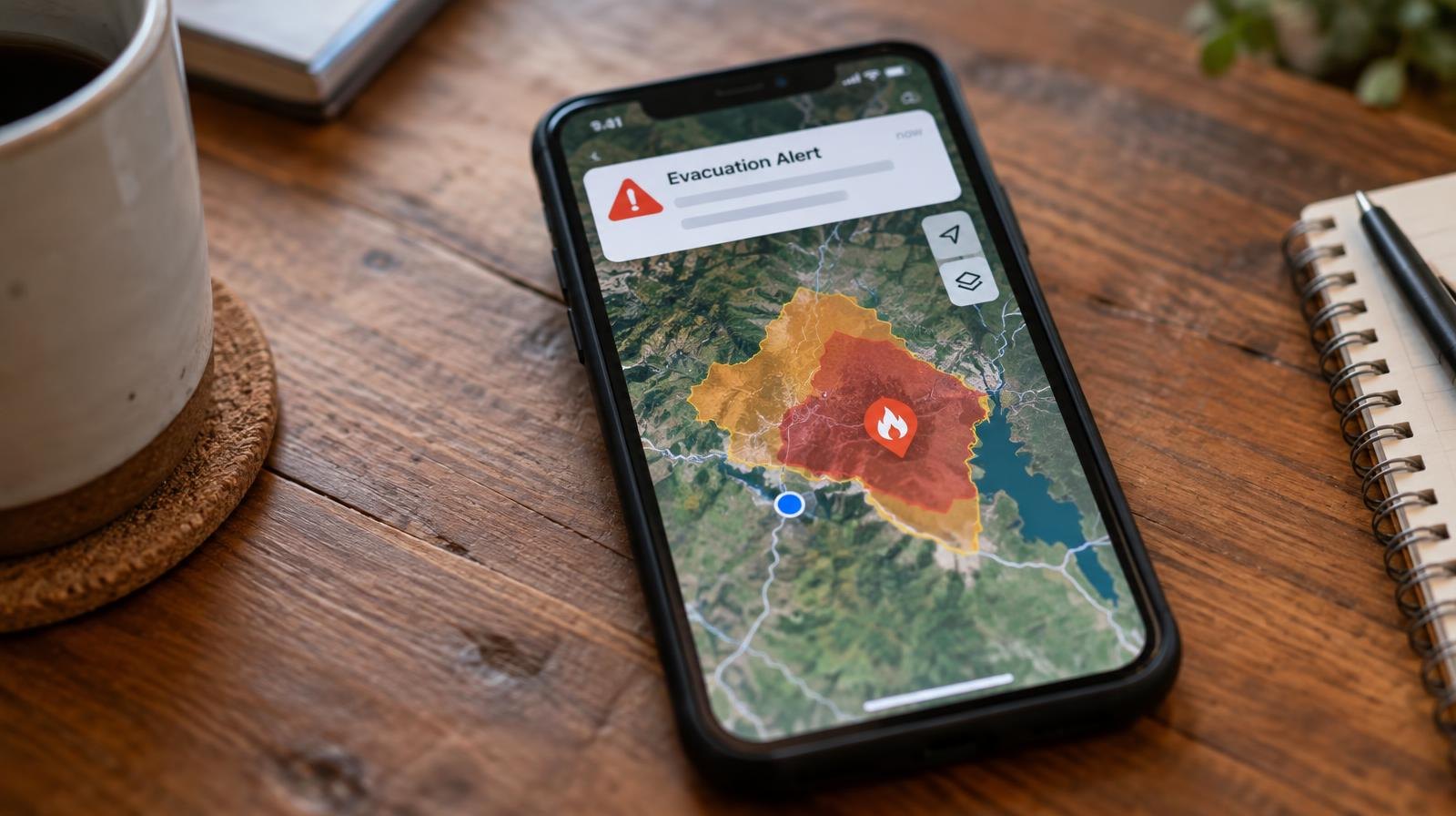
Sign up for emergency alerts. Walnut Creek residents can register for WCAlert by texting "WCALERT" to 888-777 or signing up online. For county-level alerts, register separately at cwsalerts.com. For help signing up, call the Civic Park Community Center at (925) 943-5852, Monday through Friday, 9 a.m. to 1 p.m.
Build a go bag. Ortiz recommended assembling supplies for at least 72 hours of self-sufficiency, including cash, pet food, key documents such as passports and Social Security cards, and keeping vehicles fueled and mobile devices charged. The city of Walnut Creek recommends a disaster supply kit lasting five to seven days.
Make a household plan. The state's disaster preparedness resource site is listoscalifornia.org.
Experts stressed the forecast is not guaranteed. But the rare lead time gives residents months to prepare before the worst weather arrives.
The peak storm window begins in December.