Walnut Creek residents face a stretch of dangerous heat this week, with highs forecast to climb into the mid-90s through Thursday, Oct. 1, even as the National Weather Service warns of coastal flooding along the Bay Area's shoreline — well outside Walnut Creek.
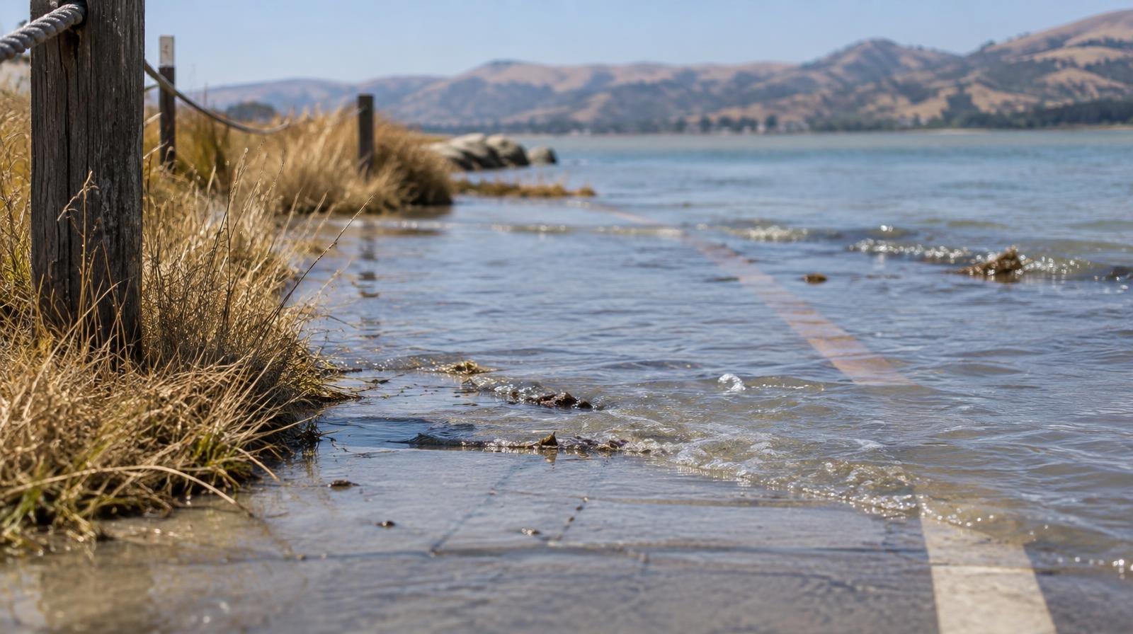
A coastal flood advisory remains in effect through 5 p.m. Thursday. The advisory covers bayshore locations along San Francisco Bay, San Pablo Bay and Monterey Bay, where tides are running about 1.2 feet above normal levels. Walnut Creek, roughly 10 miles inland in Contra Costa County, is not among the areas covered by the advisory.
Up to 1.2 feet of seawater inundation is possible in low-lying areas near shorelines and tidal waterways, according to the advisory. Flooding of parking lots, parks and roads is expected, though only isolated road closures are anticipated. High tides will also flood coastal trails and cut off access to some low-lying beaches.
At the San Francisco tidal gauge, high tide was expected to reach 7.01 feet at 1:30 p.m. Tuesday, Sept. 29, and 7.03 feet at 2:10 p.m. Wednesday, Sept. 30. Thursday's high tide is forecast at 6.92 feet around 2:58 p.m.
The San Francisco Chronicle reported the advisory is only the second time the Bay Area NWS office has issued a coastal flood advisory in September. Before this year, the office had never done so.
NWS meteorologist Matt Mehle told the Mercury News that ocean swells tied to Hurricane Polo are driving the elevated tides. Mehle told SFGATE the advisory could be extended into Friday if conditions warrant.
Heat building inland
The real concern for Walnut Creek residents is the heat. Mehle said a high-pressure ridge is pushing temperatures well above normal starting Tuesday, with the East Bay interior expected to reach the mid-to-high 80s. The National Weather Service's own forecast for Walnut Creek runs hotter: highs of 93 degrees Tuesday, 94 on Wednesday and 95 on Thursday, according to NWS — notably above the regional estimate Mehle gave the day before.
"It's gonna kick off a stretch of heat here," Mehle told the Mercury News.
Peak temperatures are expected Wednesday and Thursday. Mehle said temperatures will remain 5 to 10 degrees above normal through the weekend and into next week.
The Chronicle reported the warm spell could last into mid-October, with the potential for triple-digit heat in the inland East Bay if the high-pressure system strengthens further during the second week of October.
Fire weather concerns
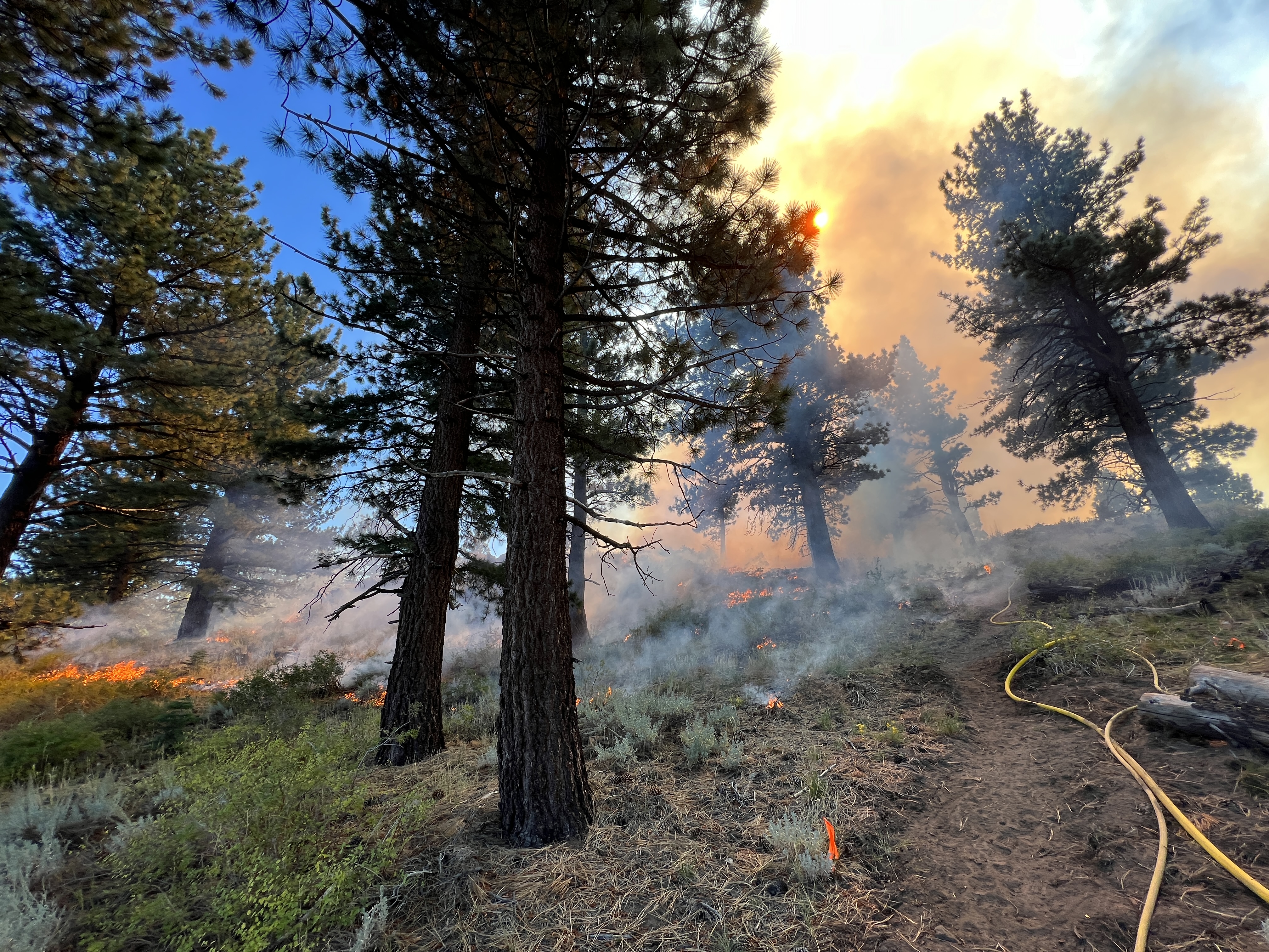
Mehle also flagged elevated fire risk. Humidity is not recovering overnight at higher elevations in the East Bay and North Bay mountains, and offshore winds are keeping conditions dry even as temperatures climb.
The NWS advises residents near the shoreline to avoid driving around barricades or through water of unknown depth and to protect flood-prone property. Updated forecasts are available at weather.gov.